|
We started what would become an 8 hour drive from Edinburgh to the Iske of Skye just after sunrise on a chilly, wet morning. The Isle of Skye is connected to Scotland by bridge about four hours from Edinburgh. It's known for its rugged landscapes, fishing villages and medieval castles. It's said that the Scottish Highlands have a mystical quality to them. We had to see for ourselves.
Top Attractions and Things to DoDay 1: Drive to Skye and Old Man of Storr
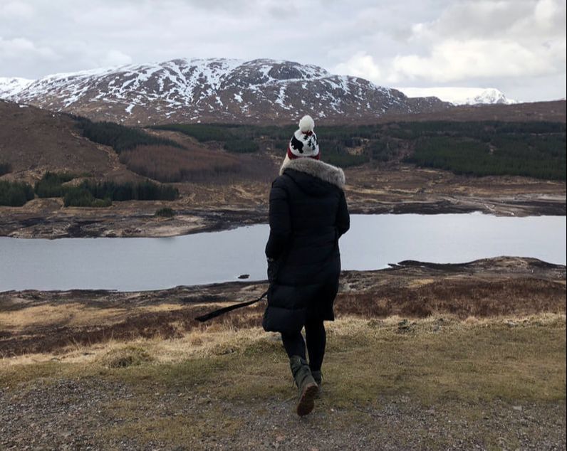
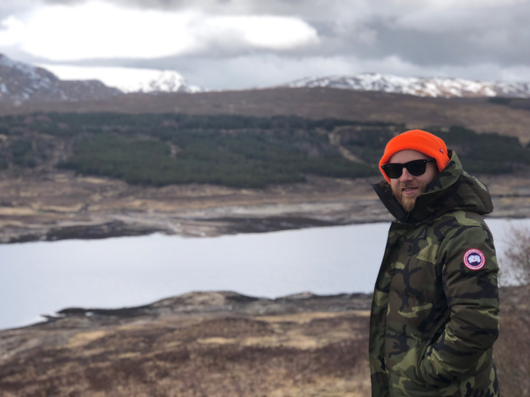
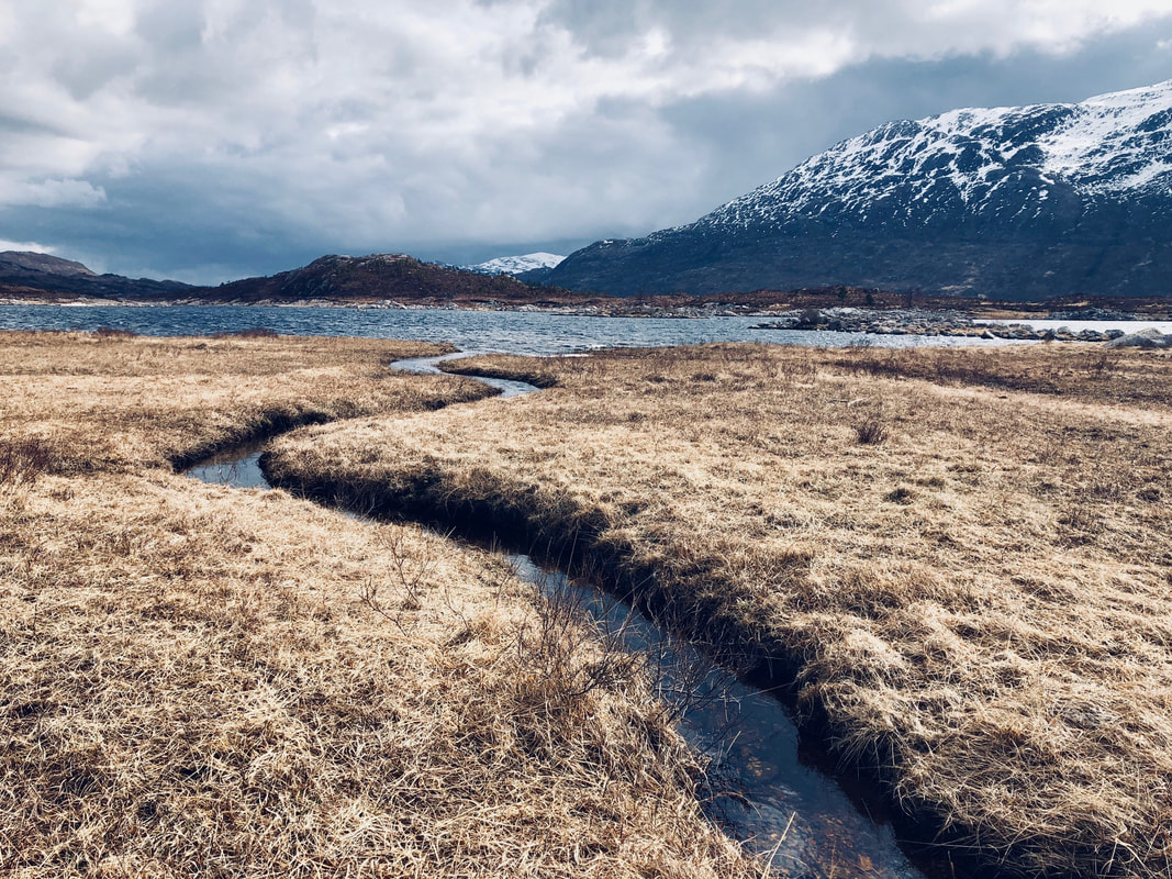
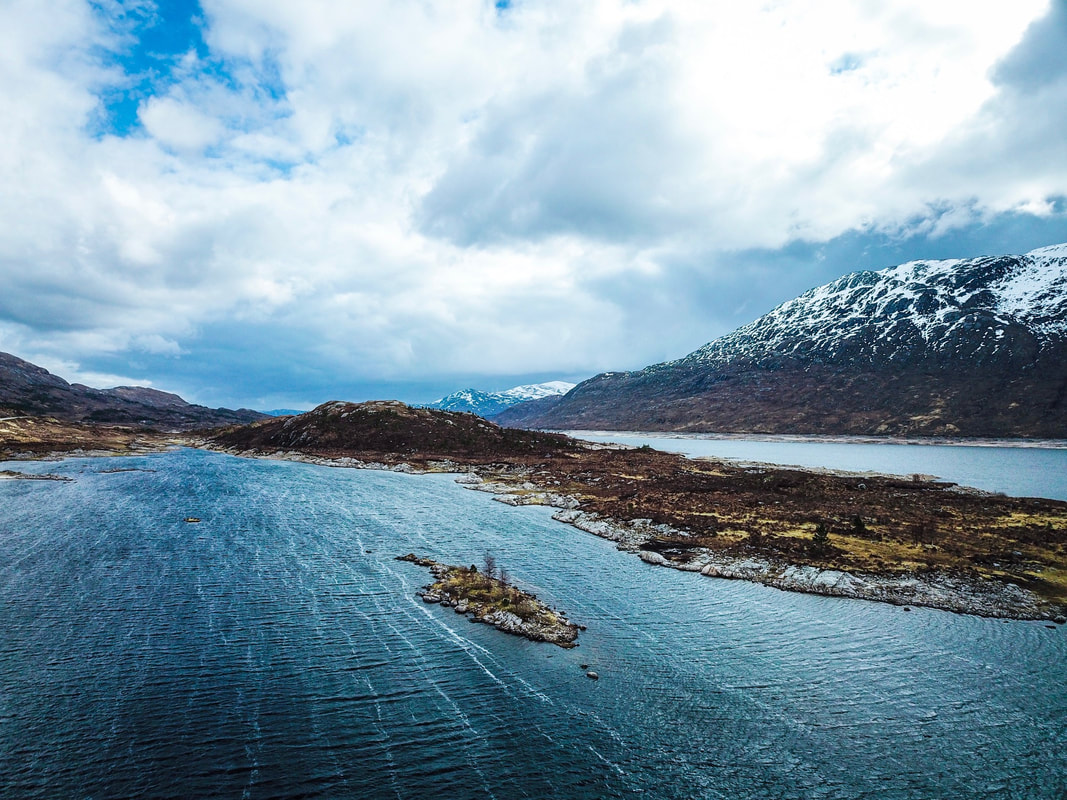
To the soundtrack of a murder mystery audiobook, we ventured out of Edinburgh proper, passed Glasgow, and quickly found ourselves driving on narrow roads, winding along lochs and snow-capped mountain passes. The landscape drew us in, and despite the cold weather, we made stops every 30 minutes or so get out, film and appreciate the massive views. We picked up breakfast at a roadside stand that was inexplicably stocked with vegan organic baked goods and dairy free lattes. We chatted with the local proprietor who cheerily let us know that we hadn't seen anything yet in terms of the natural beauty on our drive.
Eilian Donan Castle
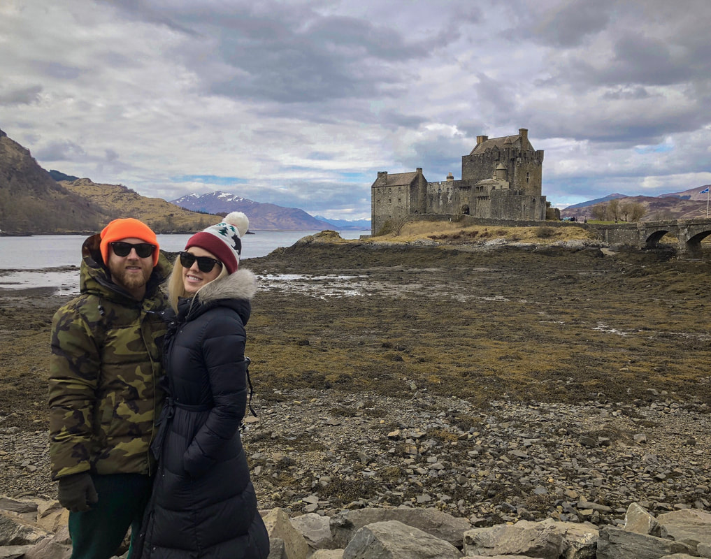
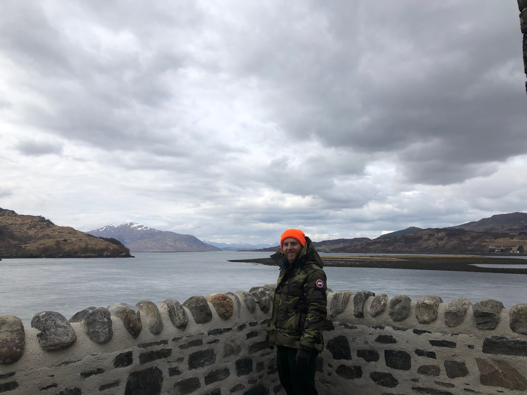
We pressed on heading north and made a few more stops (once getting back on the road quickly to avoid a couple of tour buses at a particularly beautiful viewpoint) before arriving at our first official destination - the Eilian Donan Castle, a fortress dating from the 1200s set on a small tidal island where three lochs meet, connected to the mainland via a narrow stone walking bridge. We took our time touring the castle, but moved quickly, as we had a lot more ground to cover on the way to Skye.
Skye Bridge to Portree
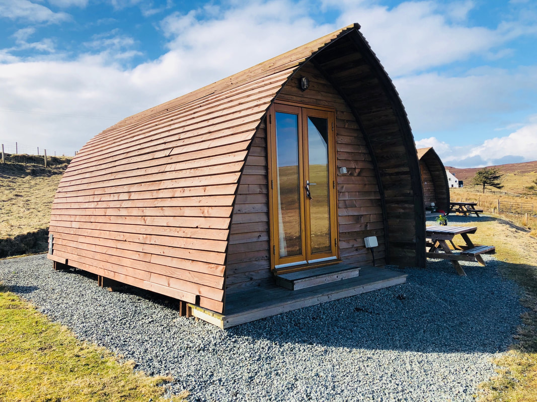
We hopped back in the car for an hour or so, finally making it to the famed Skye Bridge in the early afternoon. The bridge was constructed in the 1990s - before then, car ferries were the only option to get to Skye. The ferry service had been operating continuously since the 1600s. When the bridge was built, a toll was imposed, making it the most expensive stretch of road in Europe, but that was appealed in 2004 after much public outcry. We crossed the bridge to Skye destined toward our accommodation for the next four days, a wigwam situated on a sheep croft in the northernmost part of the island.
Old Man of Storr
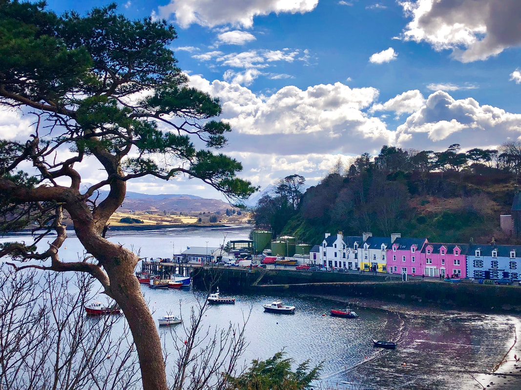
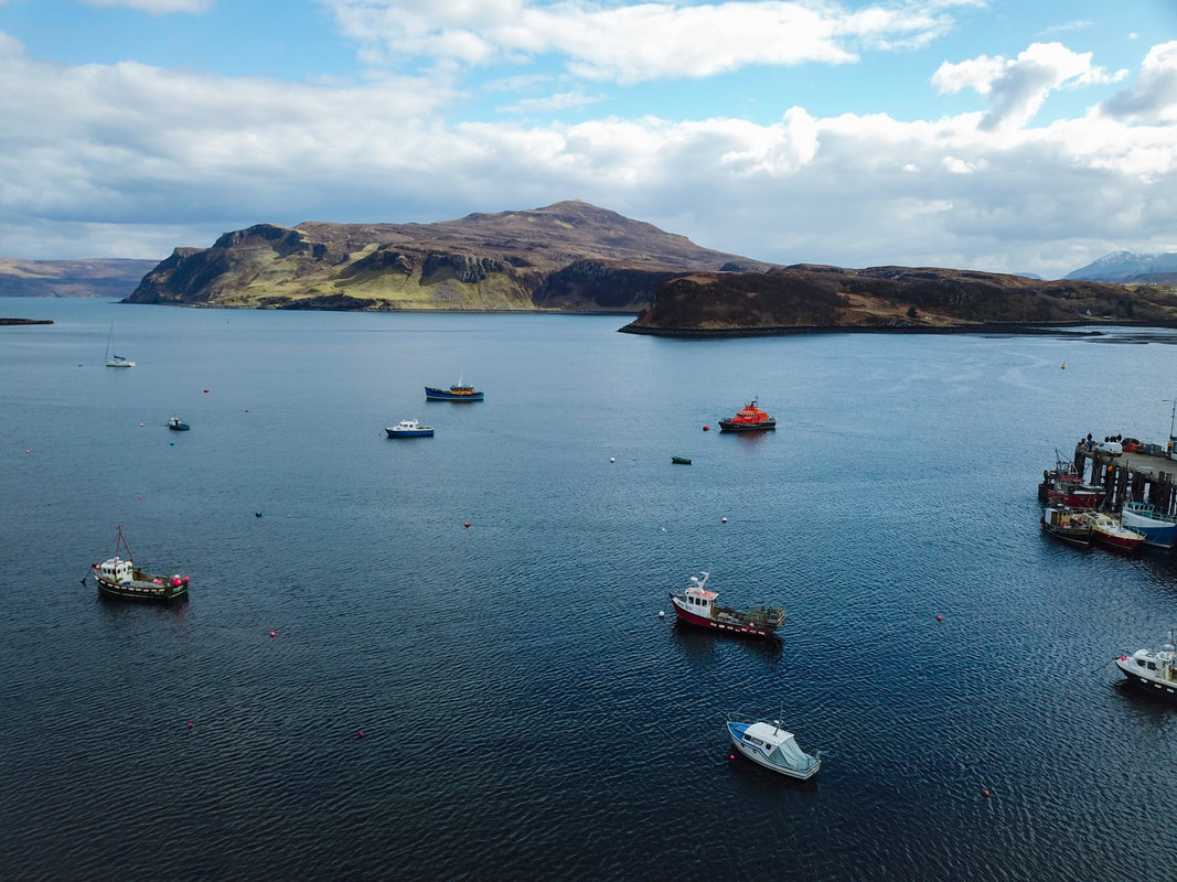
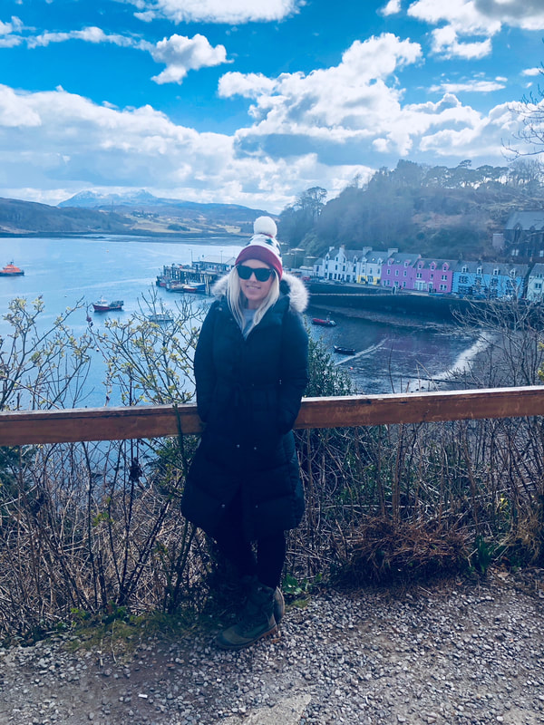
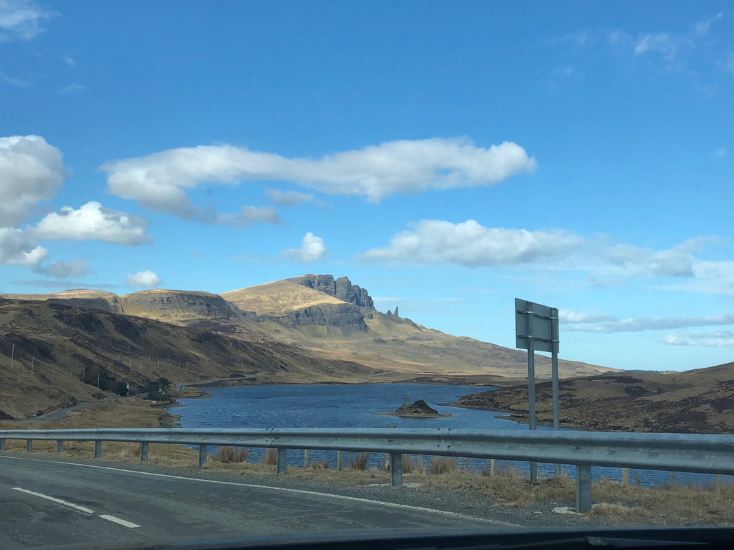
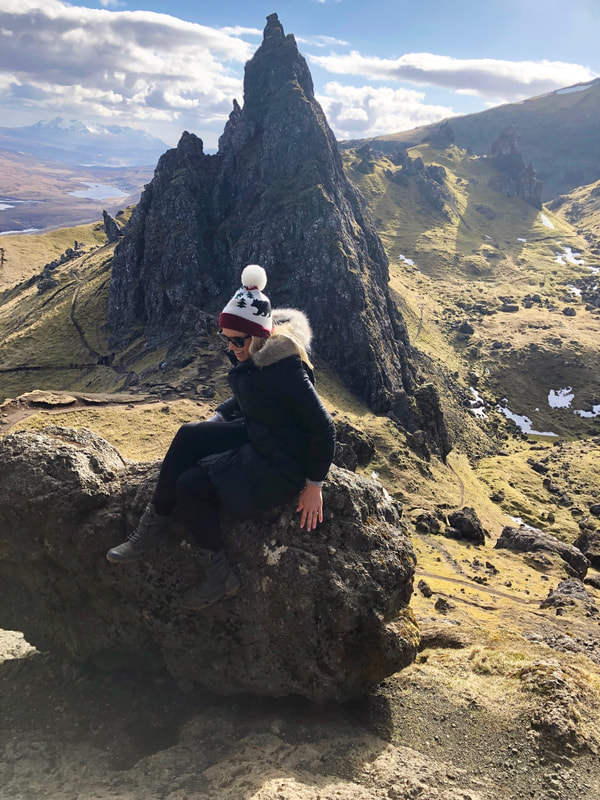
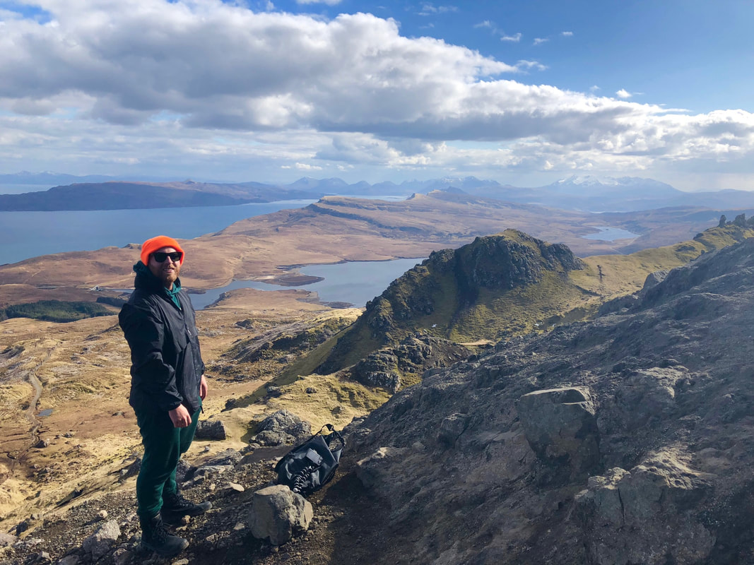
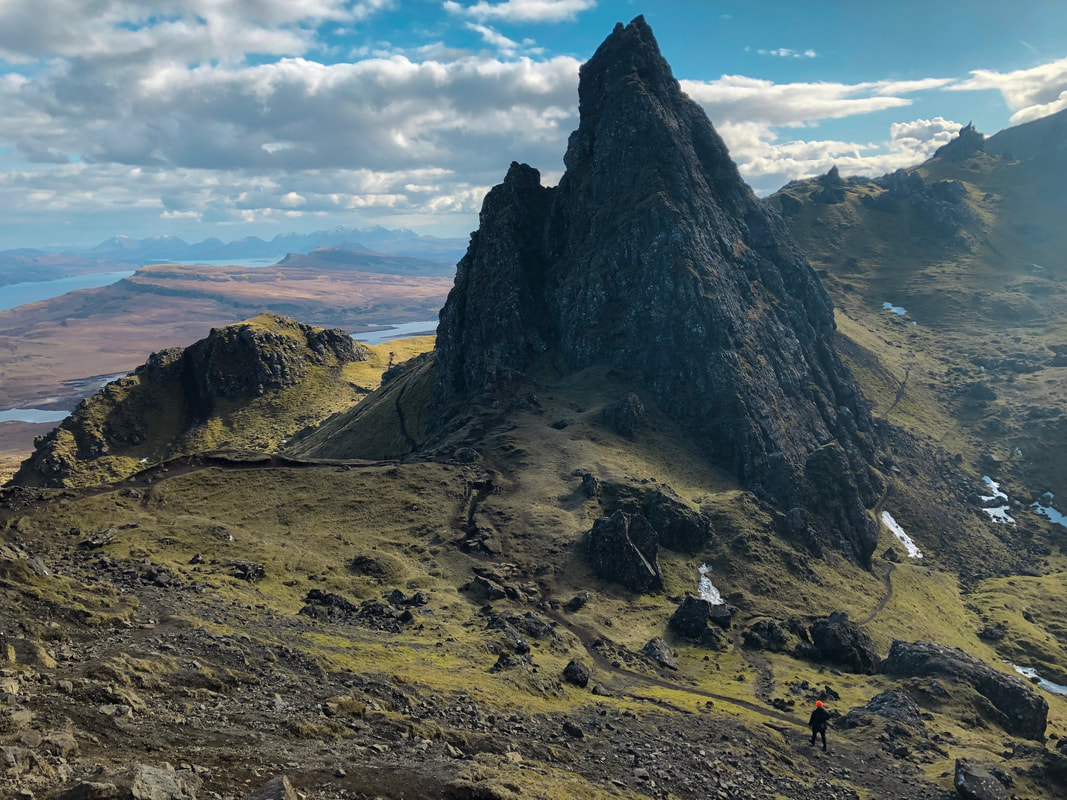
We were within minutes of our destination, and quite exhausted from the 8 hours of driving, but we made a decision to carry on.. Since the sun was shining, we decided drive on and hike to the top of the Old Man of Storr. We knew we would have no guarantees with the weather over the next 4 days. We drove past the multi-colored houses in the main town and fishing village of Portree, and zoomed along single lane roads with turnouts for passing cars before making it to the base of the Old Man of Storr - an natural stone obelisk up the mountain. We parked on the side of the road and then geared up for the hike.
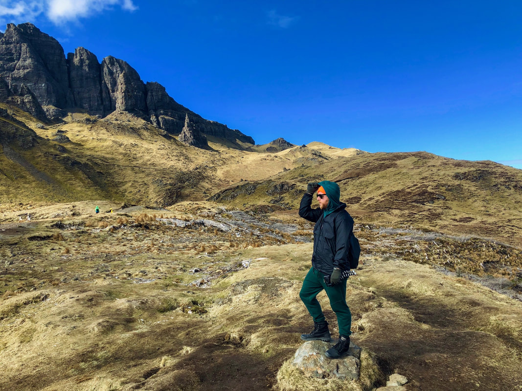
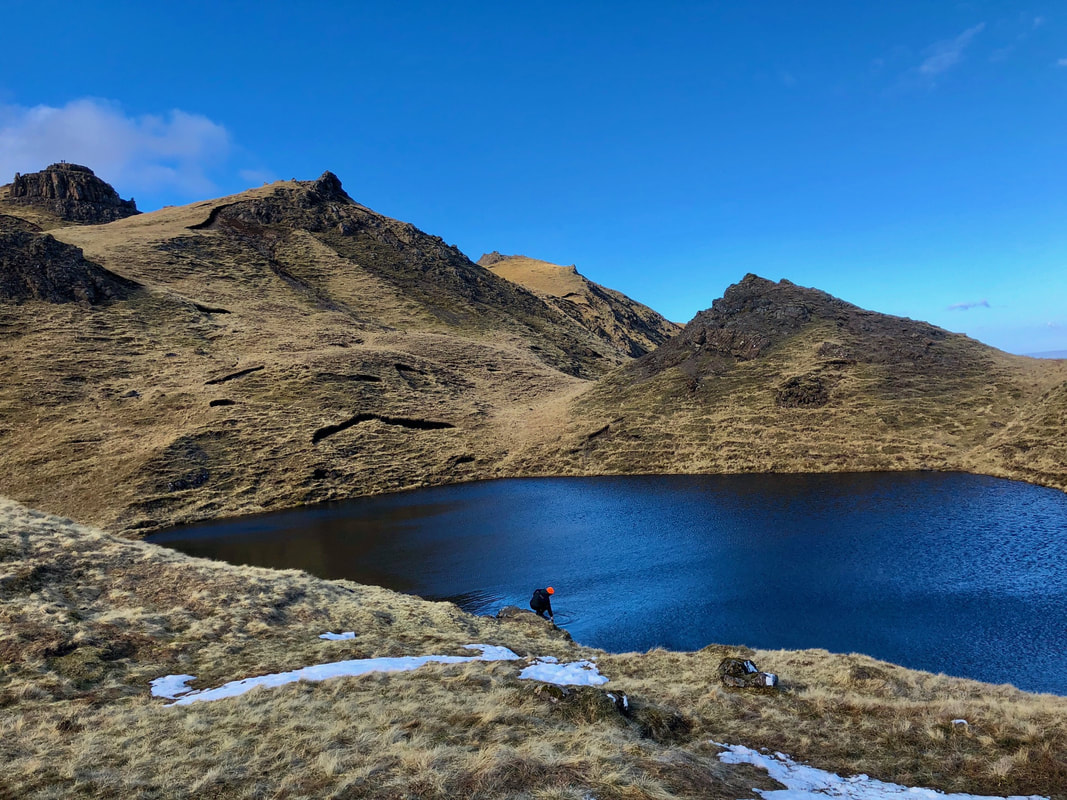
The Storr is a rocky, grassy hill, featuring weirdly shaped rock pinnacles, the remnants of ancient landslips - the largest of which is known as the Old Man of Storr. This surreal landscape has been featured in movies such as Prometheus and it features several hiking options, from simple (but uphill paths) through sheep-filled meadows to treacherous cliff ascents for professional-level climbers. We started up the switch-back path and soon found ourselves scrambling up rocky crags to reach the base of the Old Man. Out of breathe, we looked on for miles all the way out to the sea.
Some of the climbing was steep and a times sketchy, but we took time to appreciate watching some of the other hikers struggle on the trails, including one Asian couple hugging the side of the rocks - clinging for life - and shuffling as if they could fall off a cliff with one wrong move. We sprawled out in the soft, mossy meadows and took in the scenery until we could barely keep our eyes open, at which point we jogged down the hill and hopped back in our Mercedes coupe.
Shulista Croft
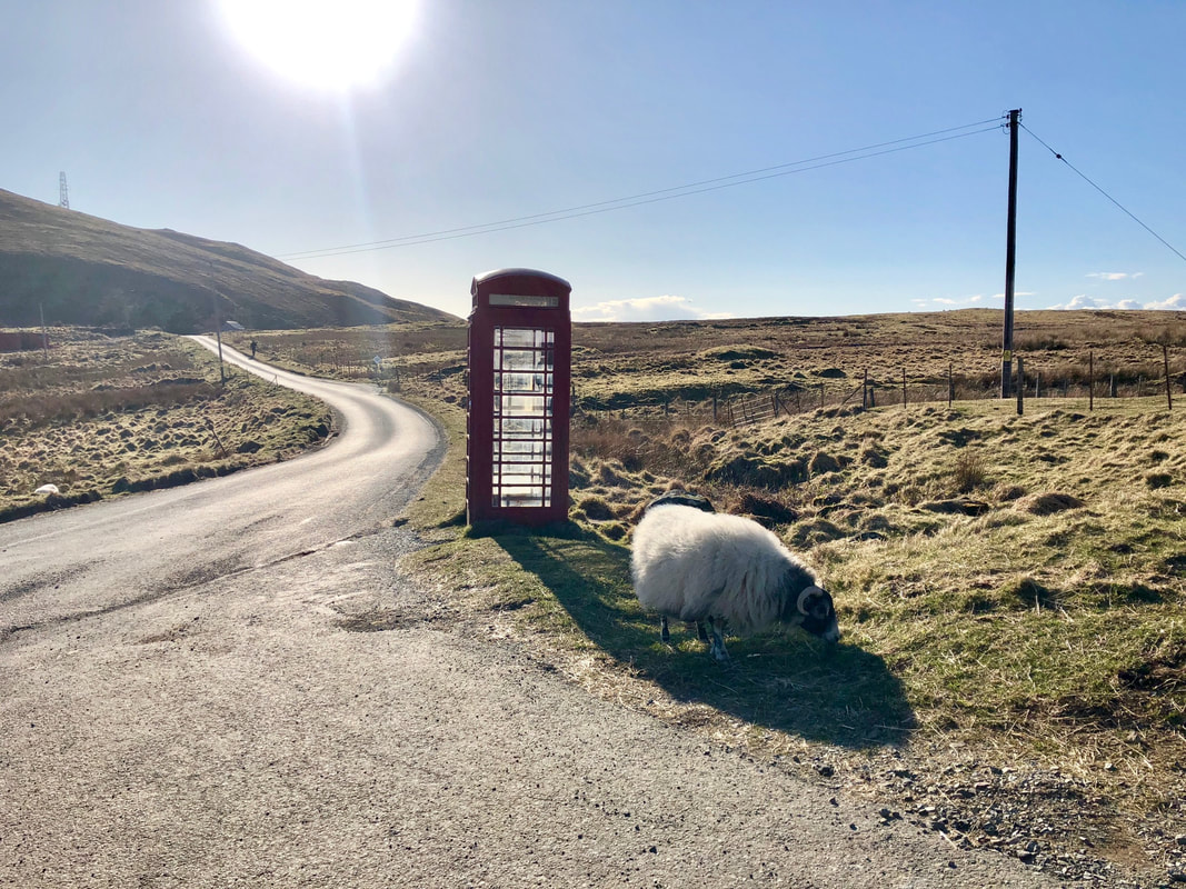
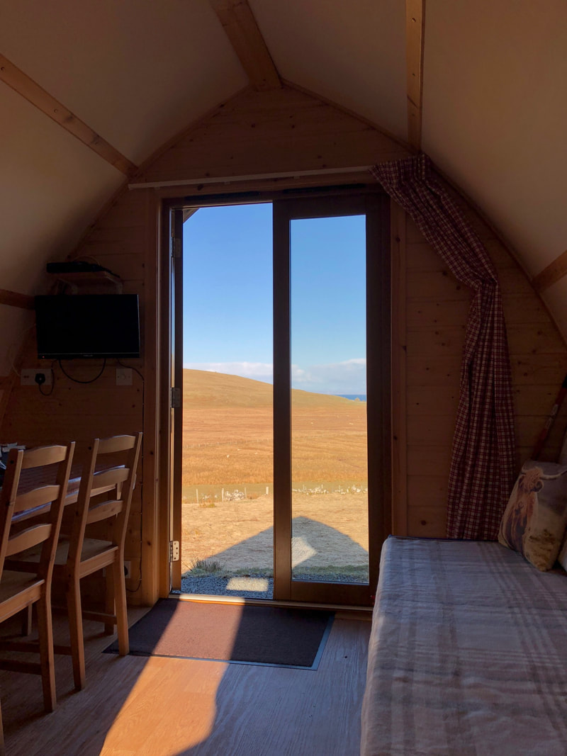
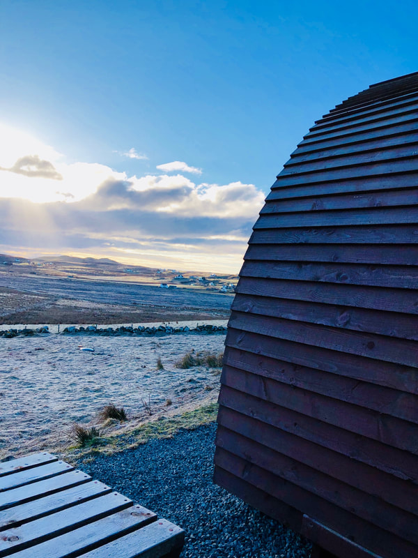
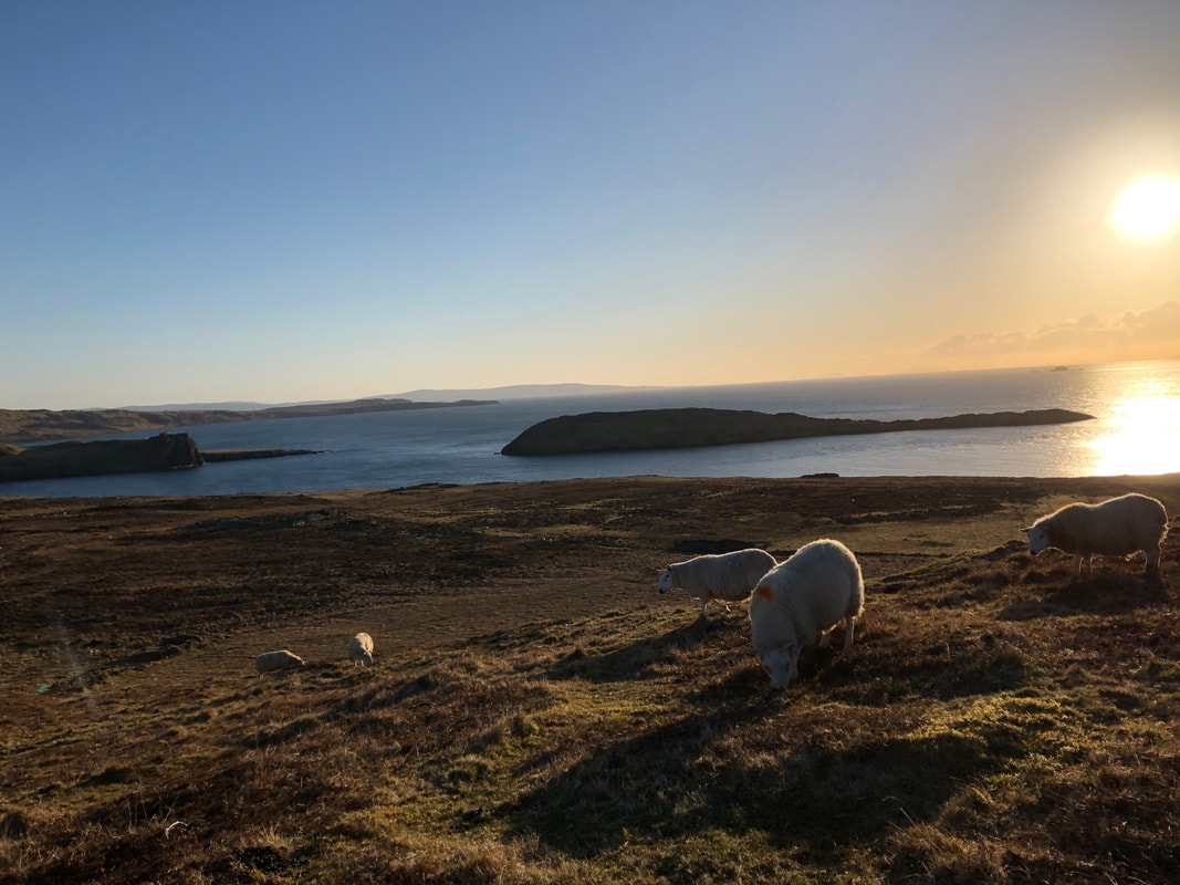
We drove about 30 minutes further north, turned right at a single red phone booth with a sheep next to it, drove over a couple of cow grates and pulled up to Shulista Croft, a family-run working sheep farm dotted with several wooden wigwams looking out to the rolling hills and sea cliffs. The proprietor, Sally, her young son and their dogs took us to our wigwam. Although tiny in size, if featured a double bed, couch, satellite TV, kitchen with microwave and stove, bathroom and dining table. We spent a bit of time unpacking, but Erin suggested we take the sunrise hike Sally recommended to watch the sunset, so we continued the adventure despite the fatigue we felt from the long day.
Rubha Hunish
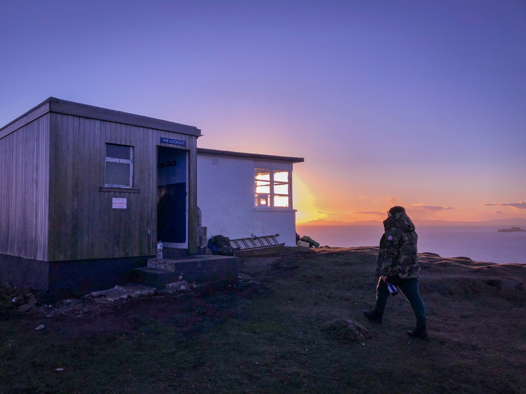
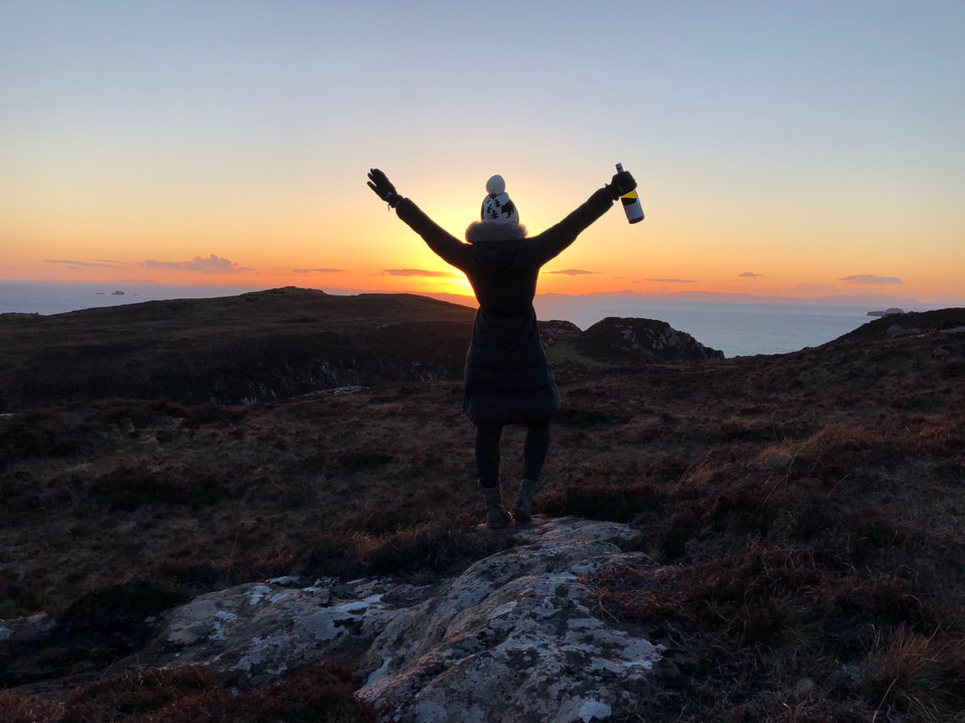
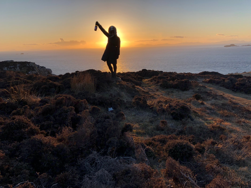
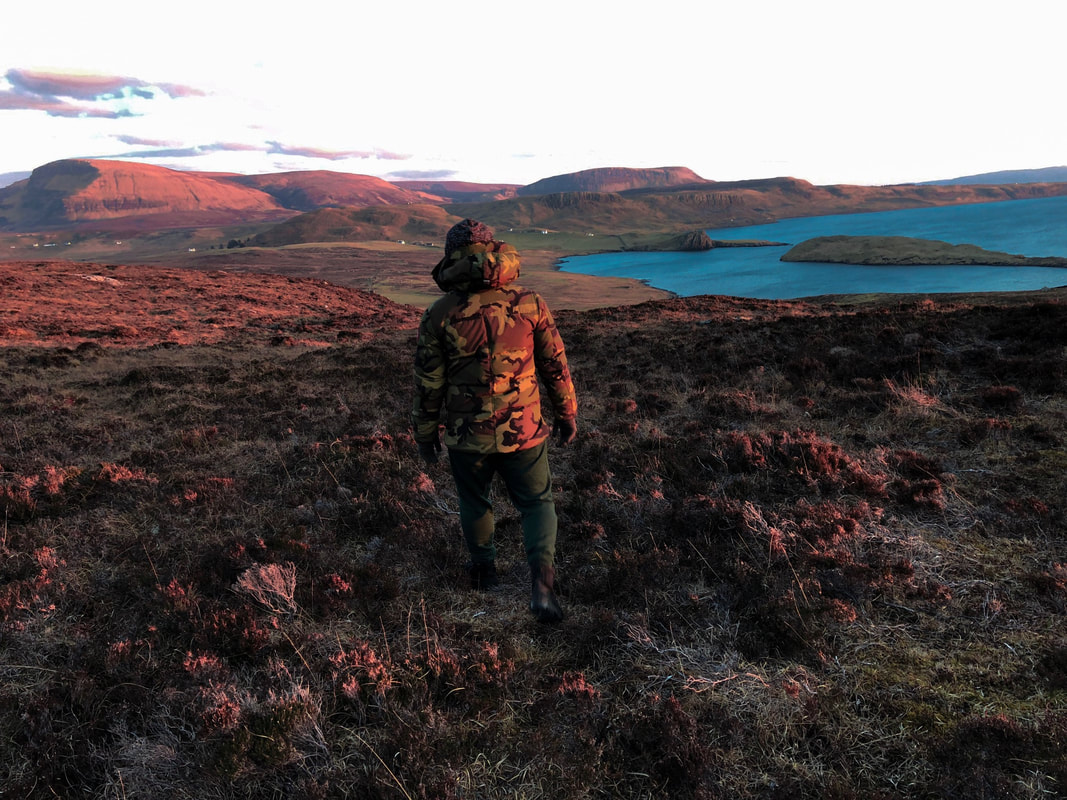
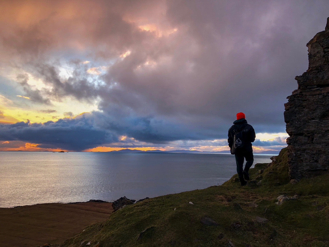
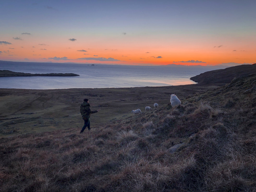
We spent the next hour walking through Rubha Hunish, the northernmost point of the island. Known for seabird and whale watching, a tiny former coastguard lookout station is now used by locals and campers as a sunset drink spot and camp site, protected from the gusty coastal winds. We started the walk out from our wigwam, trekking back over the cow grates, past several cows and sheep. We then turned just before the main road on a narrow, boggy moorland trail, heading towards the sea. We walked through a "kissing gate" (used to keep the sheep in) and continued toward the general direction we thought we were supposed to head as the sky turned orange, pink and purple. We brought a bottle of wine along with us for the sunset, and opened it up and took sips as the 40 minute hike turned into an hour without any indication of the lookout building.
The Lookout
At that point, we'd had such a long day that Dave suggested we just sit on a rock and watch the sun set over the sea, but Erin was haunted by the challenge of truly completing the hike, so we pressed on until we found the Lookout a few minutes later. There were a few people already there, planning to camp in the tiny hut for the night on a bunk bed. We cracked open the wine and took in the view - since we knew we had an hour hike back, we started to backtrack before the sky went dark, and spent the next hour completing our second day of 10 miles' walking in a row, this time with the sun going down just opposite am equinoctial full moon and some delicious Bordeaux to keep us warm.
We finally made it back to the wigwam, where we hung out for a few minutes with our neighbors, a young Scottish couple tending a bonfire. The firelight did nothing to block out the thousands of stars dotting the night sky. We easily pointed out the big dipper and Orion's belt before retiring for some much needed rest.
Day 2: Fairy Pool Ice Swim and Oysters
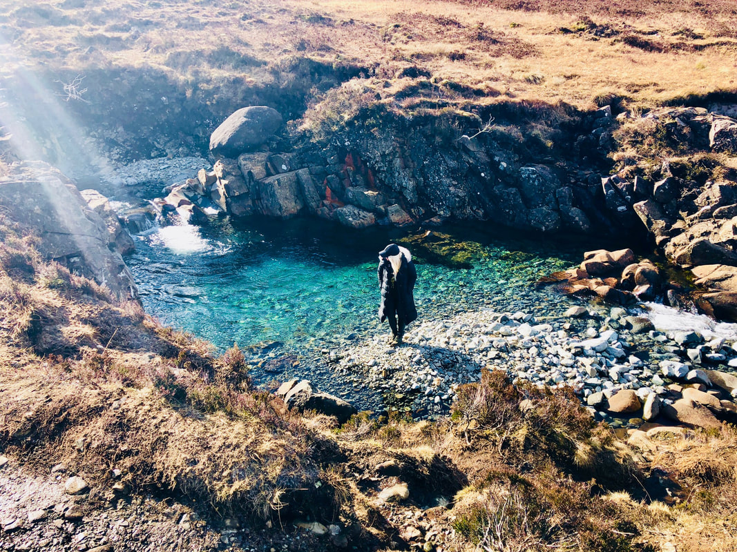
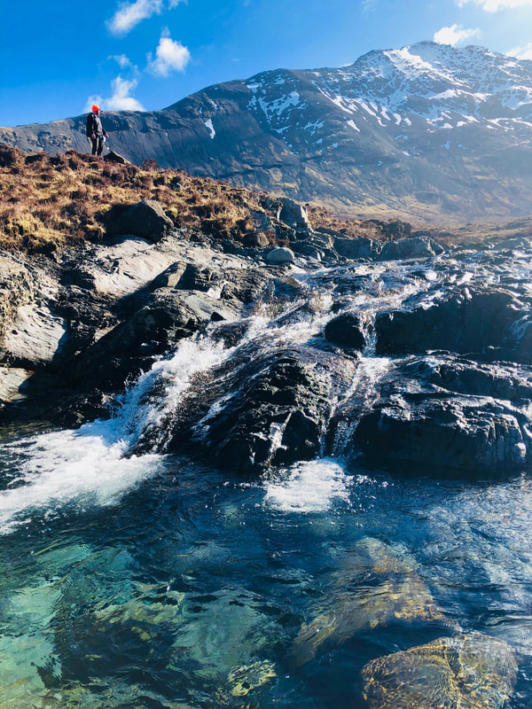
Despite the seemingly never-ending day we had the day before, we woke to watch the sunrise out the glass doors of our wigwam. We dressed quickly in hiking clothes and drove toward central Skye in search of the Fairy Pools, a series of turquoise waterfalls and ice cold pools descending from the mountains. After driving for about an hour, we reached the parking area and hiked for 45 minutes across stepping stones and along a creek-side path. We noticed a few brave souls in thick winter wetsuits, hoping to take a dip in the pools, some areas of which were covered in a thin layer of ice from the chilly night before.
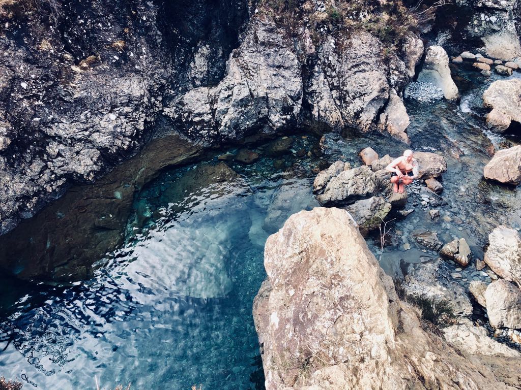
We took our time hiking from waterfall to waterfall, climbing down to the water level to photograph the blue sparkle as the sun shone in to the perfectly clean mountain water. Apparently, it just looked too good to Dave, who, despite the ice and freezing weather, decided to strip down to his boxers and take a dip in the pools, to the shock of the other hikers dressed in their winter coats. He became a celebrity for the day as he climbed from rock to rock, with tourists taking photos and yelling out cheers for his willingness to brave the cold. As he exited the water, his legs were glowing bright red and numb. Dave took the plunge because he believes that cold exposure is a healthy way to fight the aging process by exercising the cardiovascular system (Wim Hof).
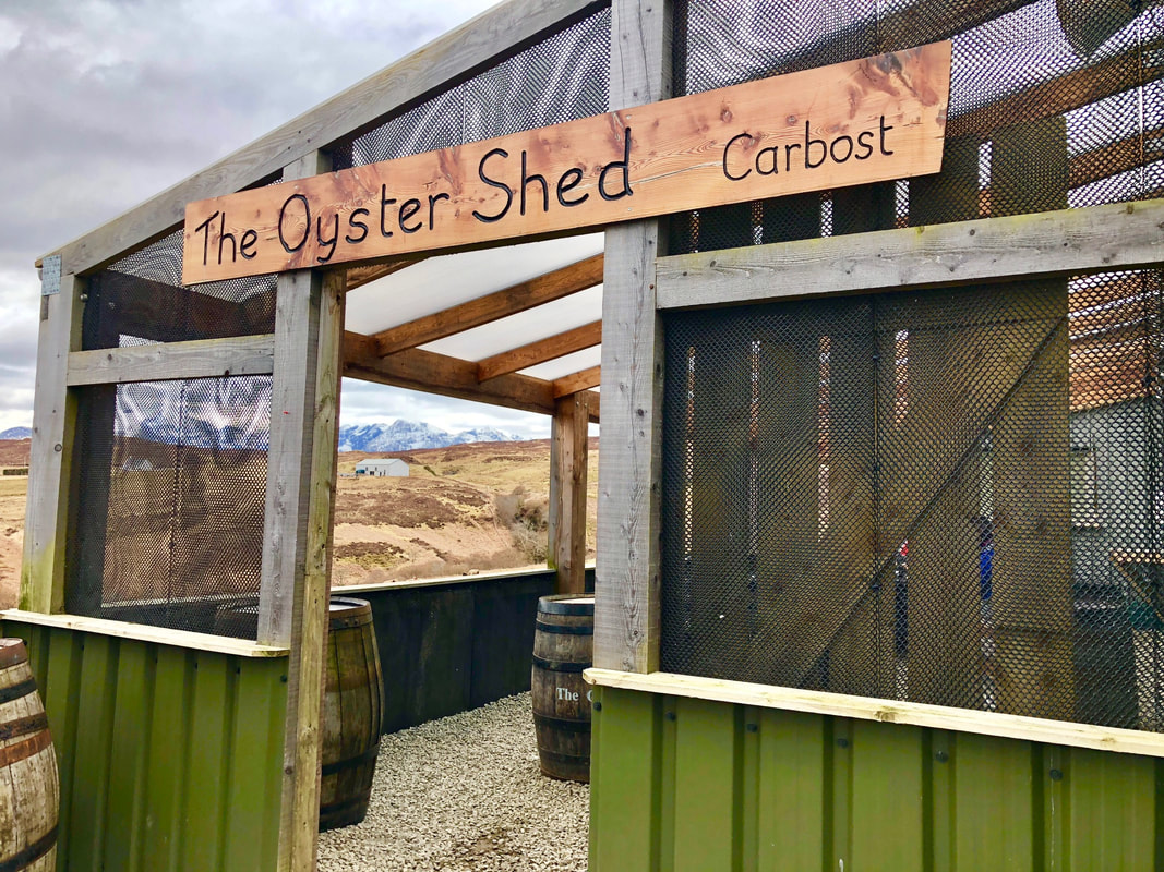
The Oyster Shed
After Dave's crazy dip, we headed out in search of the Oyster Shed for a seafood brunch. To make it to the ramshackle outdoor restaurant on the other side of the island, we had to trace along a winding, cliff-side road. Other than one main road looping around the island, most of the roads in Skye have only one lane, with turnouts every few hundred meters. Since we visited in April when crowds were relatively low, we could get away with having a few sketchy situations driving which required us to back up or pull off of the road to let a passing car move by. We even got into a few situations of "chicken." We couldn't imagine visiting during the summer months, when the hoards of tourists, buses and vans descend on the island.
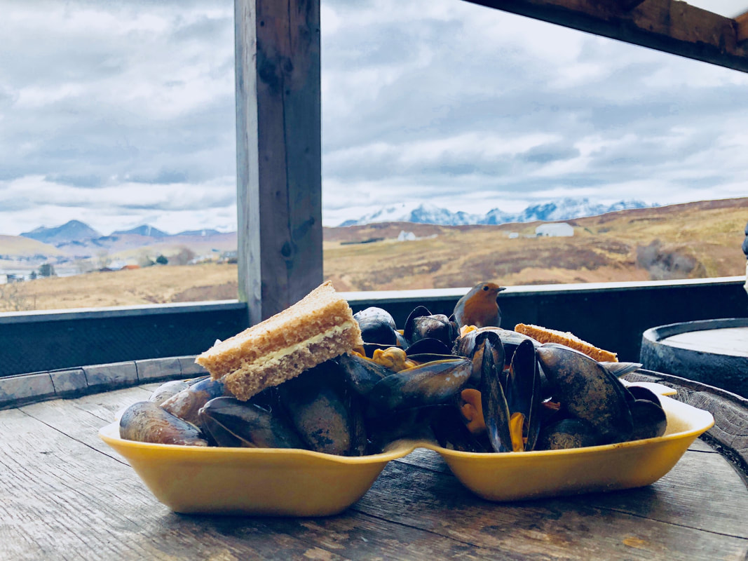
We feasted on freshly shucked oysters and steamed mussels at an outdoor standing table that overlooked the nearby whisky distillery and mountains in the distance. We then headed north, stopping in Portree to check out the views of the fishing harbour and local shops and again in Uig for a quick Easter lunch at a place recommended by Sally. Interestingly, it felt like the restaurant was plucked out of 1989 Ohio both in terms of menu and clientele, so we quickly ate our steamed frozen vegetables and headed back to our wigwam for an afternoon nap.
Duntulum Castle
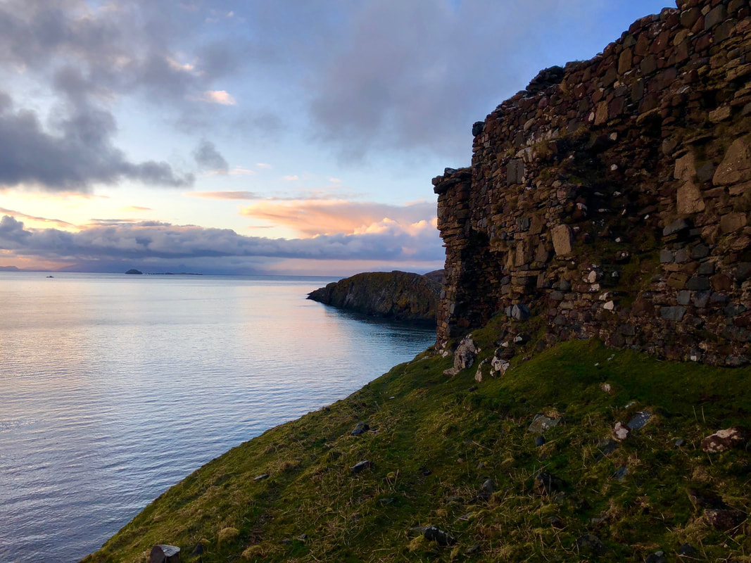
We finished our day with another wine hike, this time through a strange snowstorm that lasted only a few minutes, with the sun shining the entire time. We walked along the main road and then through a sheep field to Duntulum Castle, which was the seat of the MacDougal clan and dated from the 1300s. Apparently, Skye was ruled by two dueling clans throughout history - the MacDougals and the McLeods - and these contentious clans fought over the castle routinely, with the MacDougals eventually winning out and living in the castle until they abandoned it in the 1700s and moved to the southern part of the island.
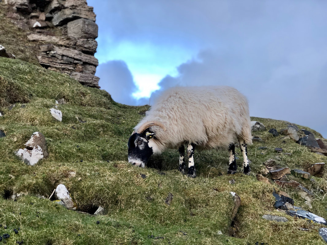
We climbed over a fence to access the castle, which now sits precariously on the edge of a cliff and is slowly crumbling into the ocean. We planned to climb to the top and take in the sunset from the medieval ruin, but we were greeted by a recalcitrant horned sheep that had claimed the area, so we decided to play it safe and enjoyed some wine and views nearby.
Day 3: Quiraing, Kilt Rock and Fairy Glen
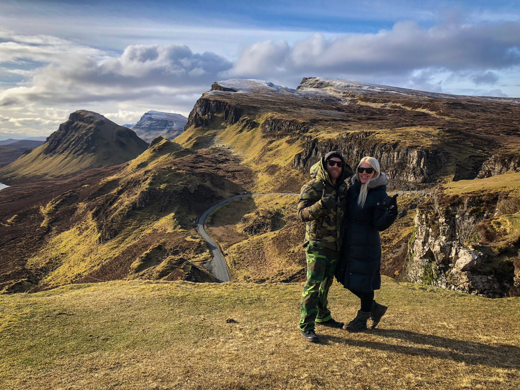
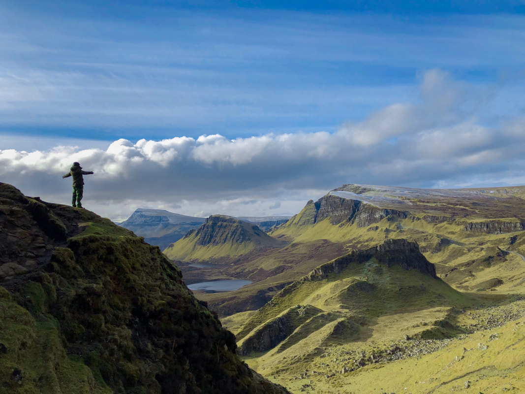
On our third day in Skye, we started our day with a hike in the Quiraing, a series of landslips, ridges, peaks and ledges on the east coast of the island. With clear views all the way across to mainland Scotland, we hiked in the windiest conditions we have ever experienced along narrow ridge paths, among snow-capped plateaus, spire-like rock formations and soft, mossy meadows. Since the day was so windy and we started so early, we were able to enjoy this wild lanscape completely to ourselves. We spent about 2 hours hiking before taking a break from the weather in the car on the way to Kilt Rock, only a few miles away.
Kilt Rock
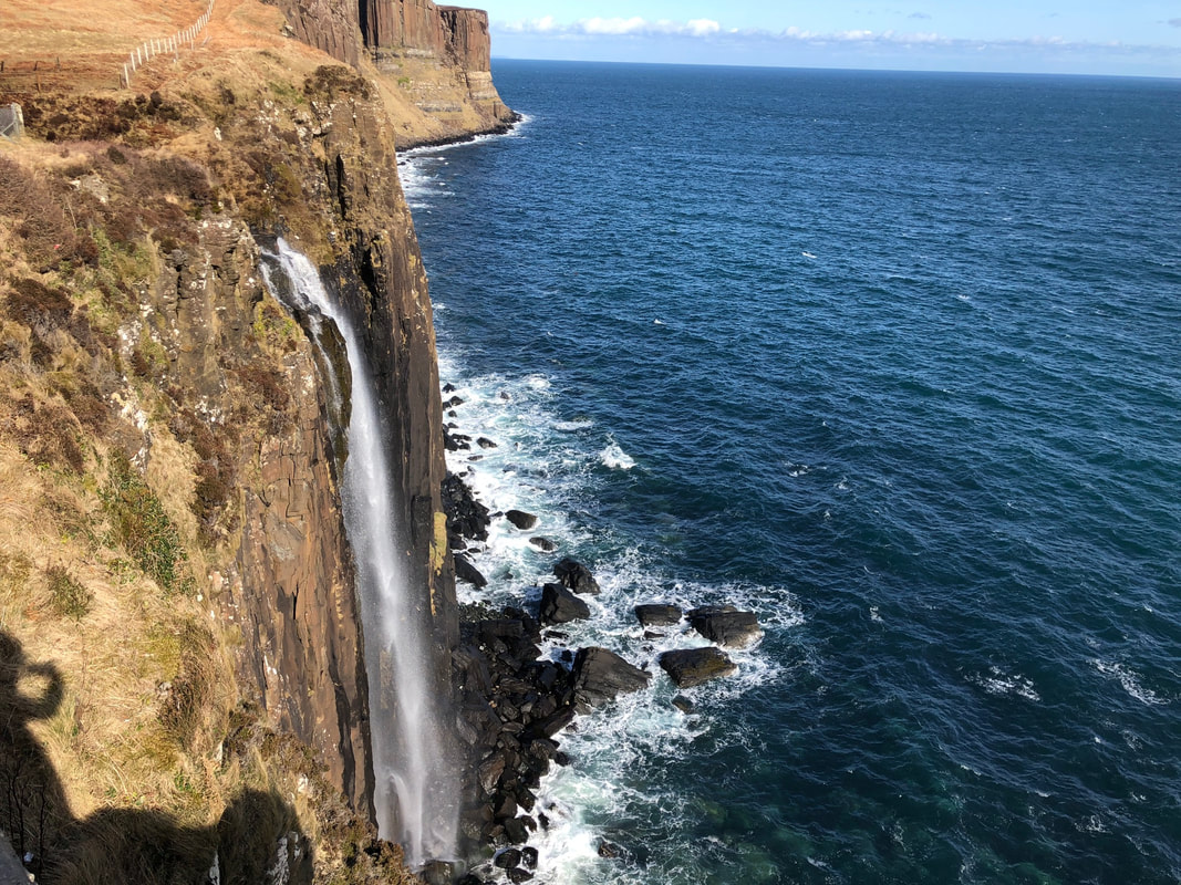
Kilt Rock is a 90 meter cliff dropping off into the sea. The striated basalt rock columns resemble a pleated kilt. A nearby lake connects via the Mealt waterfall, which plummets from the top of the cliffs to the coast far below. We pulled into a small parking lot to check out this quintessentially Scottish location, but were disappointed to see tour buses and vans - so we got out, checked out the very cool but perhaps overplayed views briefly, and then jumped back in the car.
Fairy Glen
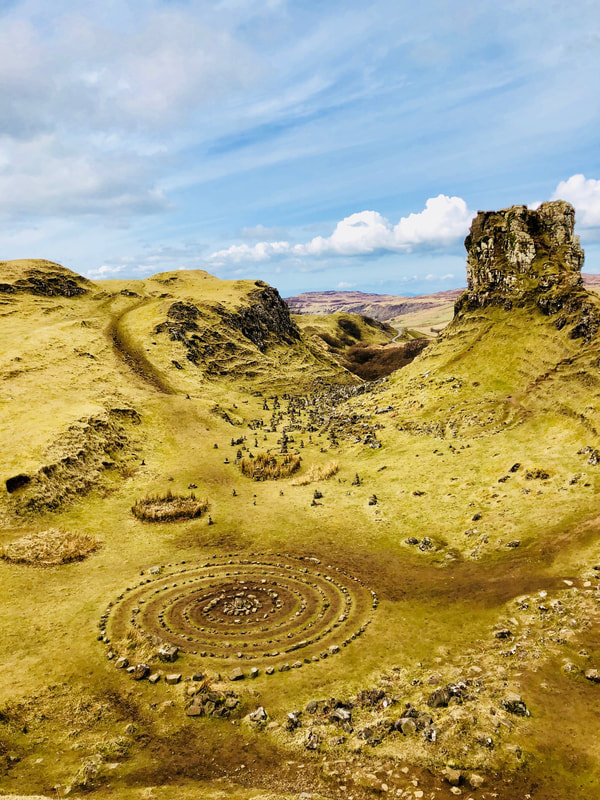
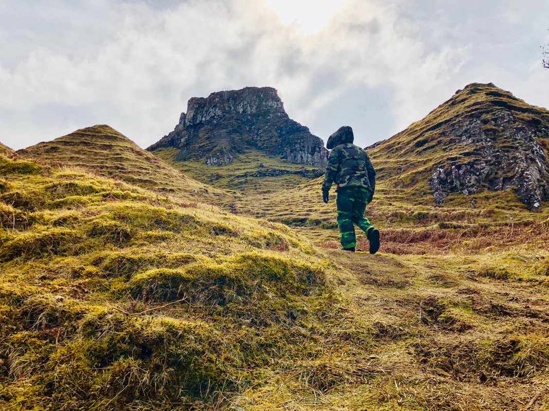
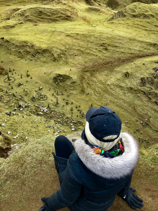
We headed to Portree for some delicious soup and sandwiches, which we enjoyed in the car while listening to a podcast, and then we headed north once again to Fairy Glen. We pulled off the main road and drove for a few miles into what felt like a Children of the Forest scene from Game of Thrones - featuring soft, mossy round hills, ponds, grassy knolls and intricately designed rock circles. We pulled off the side of the road and immediately climbed to the top of the highest hill to take in the fantastical views.
By this point in the late afternoon, the winds were howling, so we headed back for the afternoon to wait out the weather. It turned out that the weather never changed, so we cooked a simple dinner in our wigwam, enjoyed some BBC and fell asleep to loud winds beating against the side of our tiny lodging. We could hear the wooden structure creaking under the force.
Day 4: Dinosaur Footprints, Drive South and EDI Airport Lounges
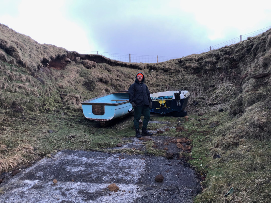
We woke early the following morning to make the long drive down to Edinburgh - but first, we made a beeline to check out some recently discovered dinosaur footprints set in a rocky shoreline path. We said a quick goodbye to our hosts, opened up the sheep gate and set out on the road, with plans to take a different route south to view some more varied scenery along the way. To reach the dinosaur prints, we had to turn off the main road at a sign reading "beach this way" and head down a roughly paved path along the coast toward a fishing pier. We found a sign giving the history of the prehistoric people that lived in Scotland, and then another dedicated to the dinosaurs that used to roam the shores in the Jurassic Era, millions of years ago. We followed the path to the famous footprints, but it was sadly a bust as the high tide covered the spot - one of the few fails of our trip.
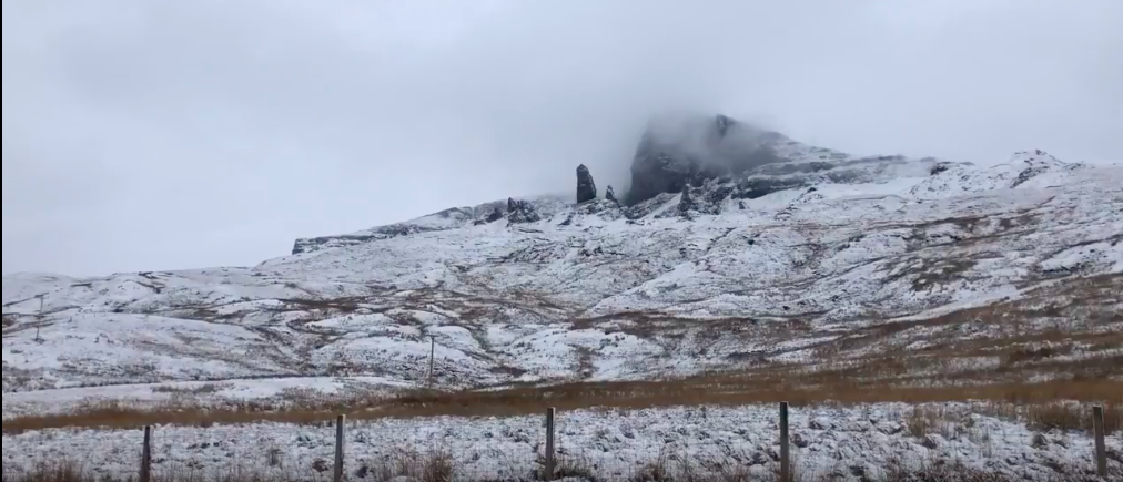
When we drove in to Skye three days earlier, the sun was shining and the landscape glowed in yellow and green. On this day, the Old Man of Storr was covered in mist and snow, and the winds were howling. We were lucky to have a three day span with blue skies, and we were glad we hiked up to Storr while we could. We motored out of Skye and back to Edinburgh quickly, with the epic views covered in fog and clouds. Read about our Edinburgh Adventure here.
We arrived extra early for our flight, so we took advantage of our Priority Pass for an airport lounge crawl. At our first lounge, we enjoyed waiter service and an open bar while we waited for our flight. With a couch and table all to ourselves, along with unlimited snacks and drinks, we were totally cool with our flight being an hour late. We landed in Germany just after 10 pm and were home in Luxembourg by midnight.
The Adventure Continues to Berlin |
Adventure Travel GuidesCategories
All
|

